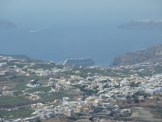
One of the Cyclades islands in the Aegean sea, Santorini is defined by a caldera formed by a volcano. The Minoan eruption in about 1500 BC sunk the interior of the island, covering the island in ash and creating a crescent shape. In the early 18th century, another eruption brought the central volcano up above the surface of the sea. Taken from the highest point on the island, these photos give a sense of the layout of the island. On the edges of the photo are the tips of the C, in the middle are the volcano (foreground) with Thirasia behind. On the eastern side of the island, you can see the airport runway. At the "top" of the "C" there are four main settlements: Fira, Firostefani, Imerovegli and Oia (where we stayed). Looking to the center of the C you can see a cruise ship, one of many each day, docked in the port of Fira.


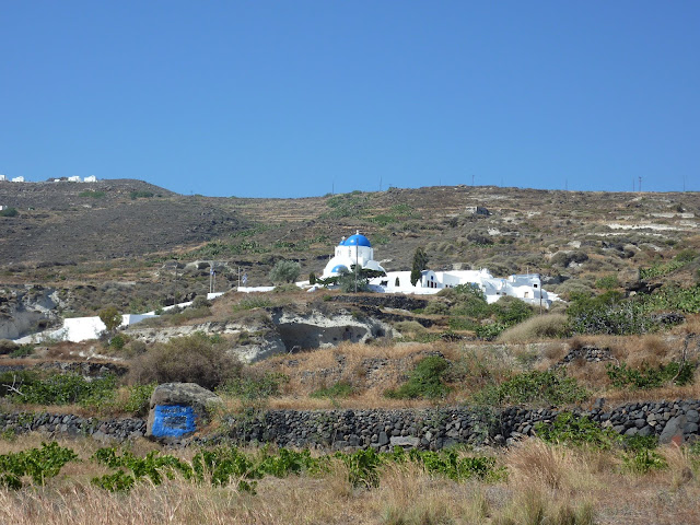
We drove from the airport on the main "highway" toward Oia. This is looking east toward another island. Notice the low road in the background and the view from the low highway up toward the main road.


The view from our hotel room, looking across the sea to the volcano from our balcony.


The hotel is a traditional house, meaning it is built like a cave into the mountain.


No comments:
Post a Comment